What Does “Fixed” vs “Float” Mean in RTK?
RTK Fixed means your GNSS rover has resolved the carrier phase ambiguities and is producing a high confidence centimeter level position. RTK Float means the rover is receiving corrections but has not fully locked in yet. This guide explains fixed vs float in plain surveyor terms, why your rover may stay in float, what correction age means, and what to check before storing important shots.
Why Your GNSS Rover Will Not Connect to NTRIP
Learn why your GNSS rover will not connect to NTRIP and how to troubleshoot the most common field issues, including no internet or cell service, incorrect SIM or APN settings, wrong caster address or port, bad login credentials, mount point problems, and RTK fix failures. This guide gives surveyors a practical checklist for getting back online and receiving corrections faster.
The Importance of Workwear for Land Surveyors, Construction Workers, and Engineers
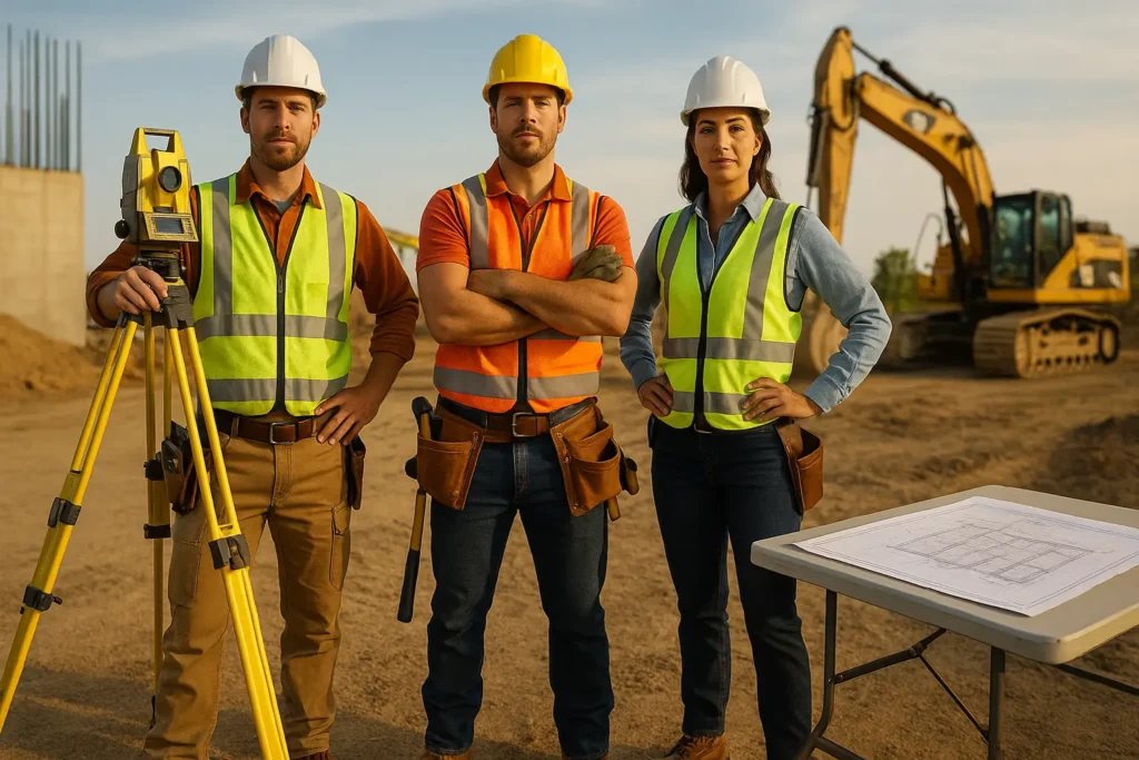
The Importance of Workwear for Land Surveyors, Construction Workers, and Engineers Proper workwear is essential for land surveyors, construction workers, and engineers, serving as a critical component in ensuring safety, compliance, and efficiency on the job. High-visibility clothing, for instance, significantly enhances a worker’s visibility in bustling construction environments, reducing the risk of accidents and […]
Stonex Unveils New Scanners and Total Stations

At the international INTERGEO 2022 Fair in Essen (an international event in the surveying and mapping geographic information industry on October 18th – 20th), the Italian brand Stonex Positioning showed a strongly refreshed portfolio of its geodetic instruments, which would include our first looks at robotic total stations along with ground and mobile 3D scanners. […]
Escáner láser 3D portátil Stonex X120Go SLAM (español)
Este es el folleto en español del escáner láser 3D portátil Stonex X120Go Slam. El sistema tiene un cabezal giratorio de 360°, que puede generar una cobertura de nube de puntos de 360°x270°. Combinado con el algoritmo SLAM de nivel industrial, puede obtener datos de nube de puntos tridimensionales de alta precisión del entorno circundante […]
Stonex X120Go SLAM Handheld 3D Laser Scanner
This is the English brochure for the Stonex X120Go Slam Handheld 3D Laser Scanner. The system has a 360° rotating head, which can generate a 360°x270° point cloud coverage. Combined with the industry-level SLAM algorithm, it can obtain high-precision three-dimensional point cloud data of the surrounding environment without light and GPS. Equipped with three 5MP […]
Escáner láser Stonex X100 (español)
Este folleto es la versión en español del escáner láser Stonex X100. El X100 es un escáner láser terrestre pequeño y compacto que es rápido y fácil de usar. Su tecnología lidar multilínea y su capacidad para lograr una cobertura completa del área circundante le permiten calcular modelos 3D para una amplia gama de aplicaciones […]
Stonex X100 Laser Scanner Brochure
This brochure is the English version for the Stonex X100 Laser Scanner. The X100 is a small and compact terrestrial laser scanner that is quick and easy to use. Its multi-line lidar technology and ability to achieve complete coverage of the surrounding area enable it to calculate 3D models for a wide range of applications […]
Official Manual of Surveying Instructions
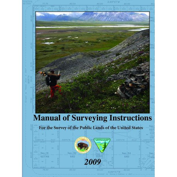
This file is the Manual of Surveying Instructions for the Survey of the Public Lands of the United States. The official Manual of Surveying Instructions describes how surveys of the public lands are made in conformance to statutory law and its judicial interpretation helping reduce the number of incorrect surveys that are made in the […]
Colleges and Universities for Land Surveyors
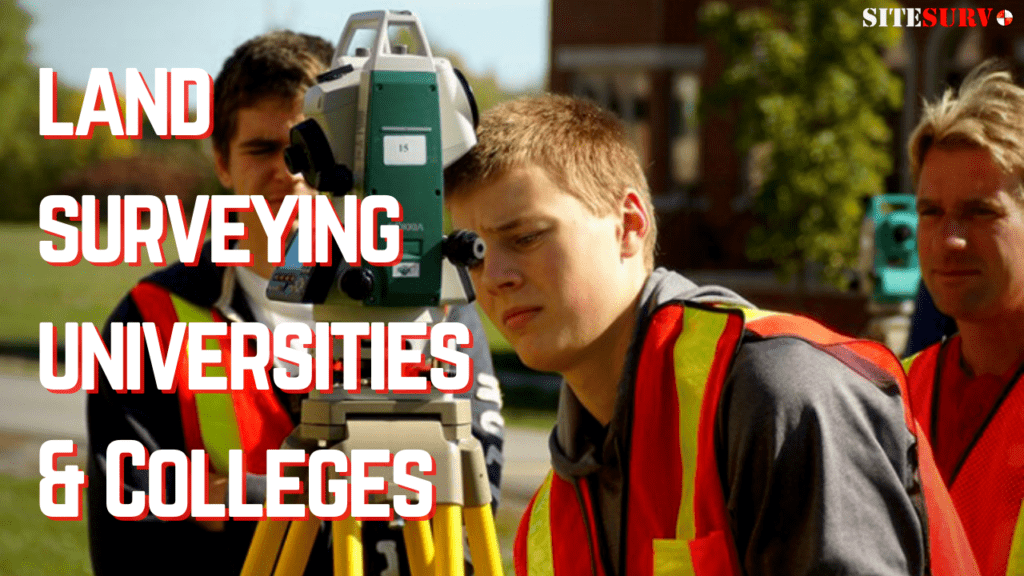
In the field of land surveying almost every surveyor dreams of becoming a professionally licensed surveyor or PSL. This may seem like a daunting task, but it is definitely manageable and can be achieved much easier depending on which state you are in. Some states require what is called an ABET accredited bachelor’s degree to […]