Everything You Need To Know About The GeoMax Zoom95 Robotic Total Station
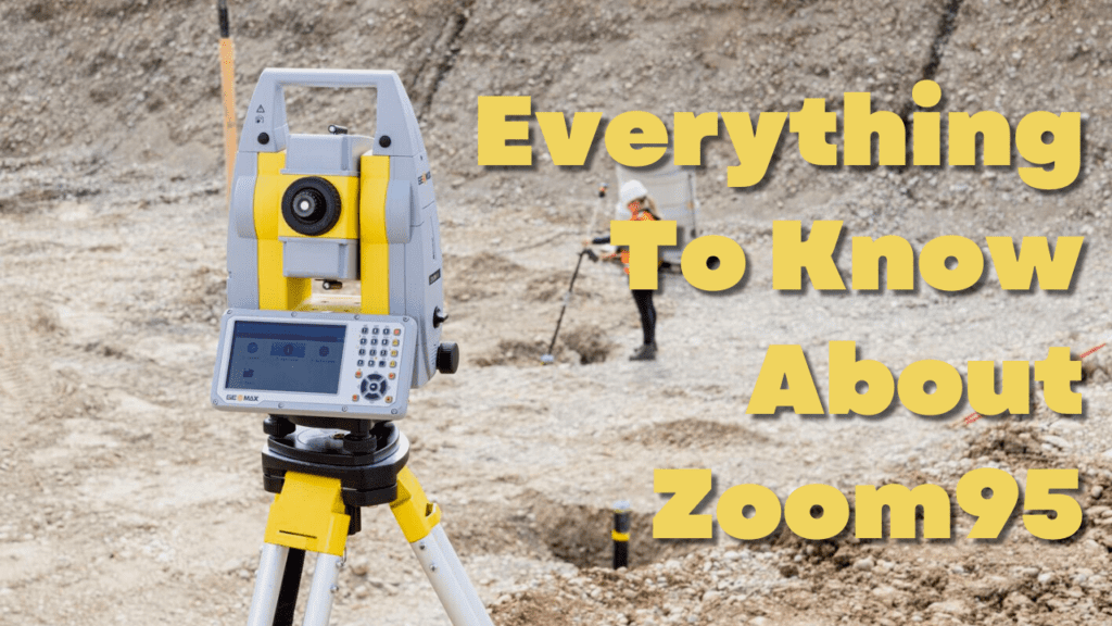
This video shows one of our team member’s Kai explaining everything you need to know about the GeoMax Zoom95 robotic total station. He highlights the most valuable features of the new GeoMax Zoom95 robotic total station including the larger display, faster prism lock, and much more. The new Zoom95 robotic total station, from GeoMax, is […]
What are the different types of Surveying and what equipment do you need for it?
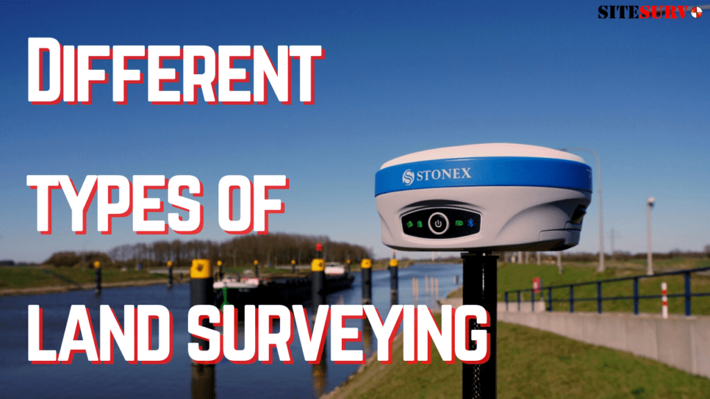
While you may be aware of what land surveying is, what you may be unaware of is all the different types of land surveying that there is. Knowing the differences between each type of survey job is essential as different equipment is prevalent in some jobs more than others. The variety of different surveys is […]
What are 3D Laser Scanners?
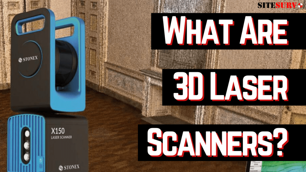
When most people think of surveying, instruments such as total stations and GNSS receivers usually pop into mind. However, one of the quickest and most accurate types of instrument that some may not know about are 3D laser scanners. With 3D laser scanners, certain surveying jobs can be finished far quicker and with better efficiency. […]
GeoMax Zoom95 In Depth Information
How The GeoMax Zoom95 Robotic Total Station Can Improve Your Work Life
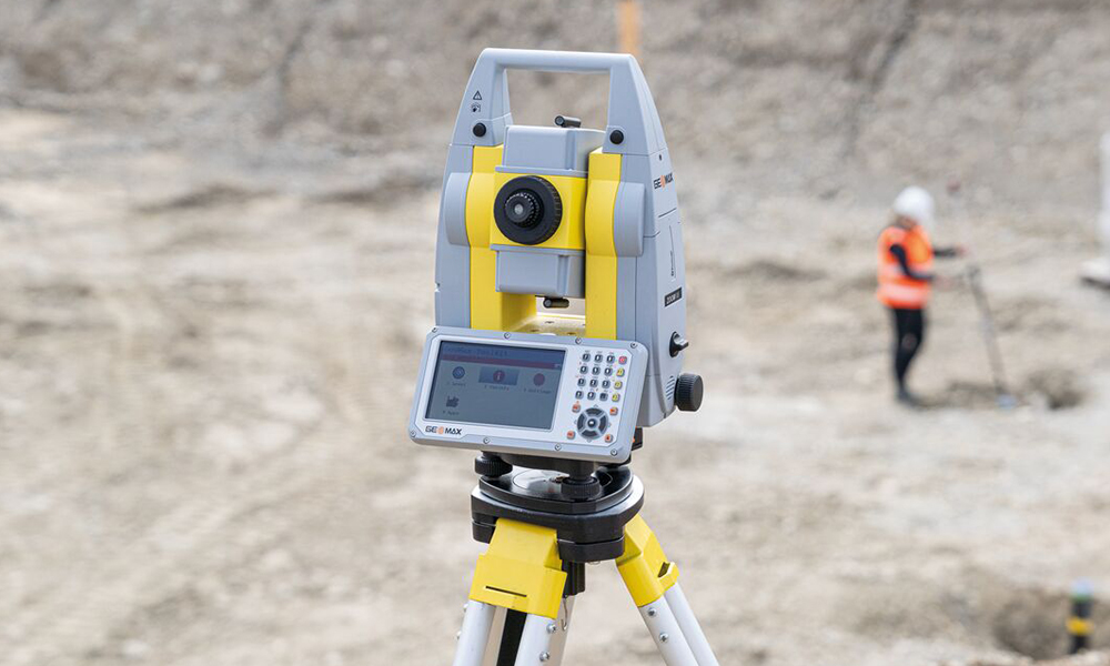
GeoMax offers a robotic total station portfolio that covers the different needs of the users. Combined with X-PAD Ultimate and field controllers, GeoMax provides an outstanding solution for all your work in the field and the office. The robotic total stations leave the choice to work with two people and the onboard software, or a […]
What Are the Differences Between the Different Safety Vest Classes? Which One Are You Required to Wear?

If you look at anyone who works on construction sites or is working on the side of the road you will see them wearing a bright safety vest. What you may not know though is that there are different types of safety vests and depending on the environment you’re working in, the standard requirements for […]
How To Setup An Auto Level Onto A Tripod Quick | Land Surveying Tips and Tricks | SiteSurv

1. Setup your tripod as level as possible, step on tripod legs to drive into the ground. 2. Attach auto level to the tripod using the screw attachment. 3. Adjust level so bubble is centered in the vial with the screws underneath. 4. Adjust recital until cross-hairs are clear. 5. Adjust the objective lens until […]
Cómo Configurar Un Trípode Para Topografía 👷
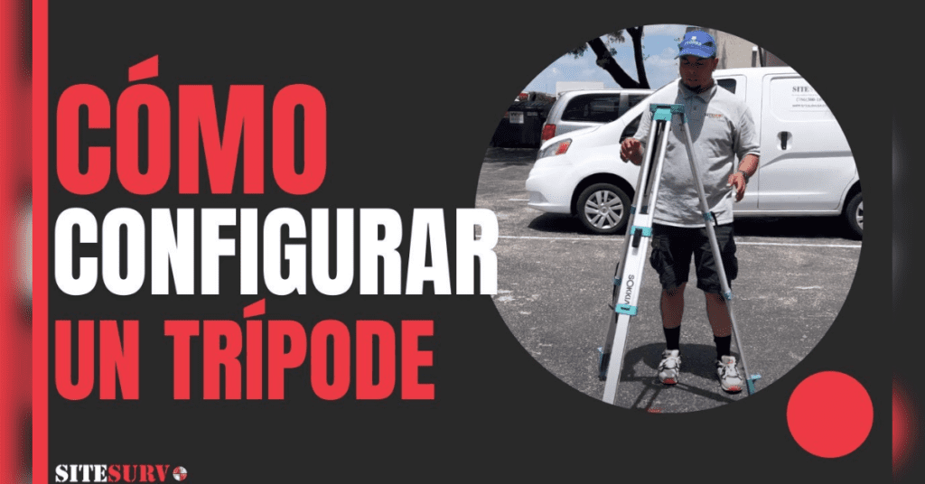
[siteorigin_widget class=”WP_Widget_Media_Video”][/siteorigin_widget]
How To Setup A Tripod For Surveying 👷 | Land Surveying Tips and Tricks | SiteSurv University Learning Center
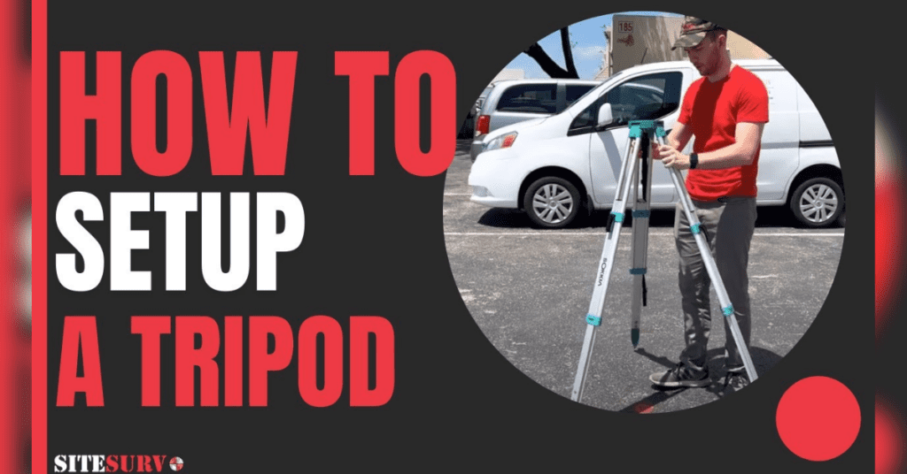
[siteorigin_widget class=”WP_Widget_Media_Video”]
