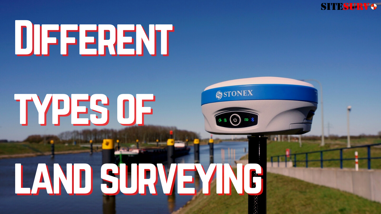
While you may be aware of what land surveying is, what you may be unaware of is all the different types of land surveying that there is. Knowing the differences between each type of survey job is essential as different equipment is prevalent in some jobs more than others. The variety of different surveys is quite extensive, however in this article we will go over 4 different types of land surveying. Topographic, boundary, construction, and ALTA/ACSM surveys.
Topographic Surveys
One of the most important and common types of surveys is a topographic survey. The purpose of a topographic survey is to identify what are all of the physical features of the land, this could pertain to both man made and natural features. Some examples of this would be trees, fences, streams, and any type of building.
There are a couple of different instruments that can help get this potentially extensive job done much quicker. Two of the most essential tools that you’ll use will be a GPS and a Total station, accompanied by a data collector. However, another device that if available would be extremely efficient for this job is a survey drone. With its ability to capture large areas quickly and helps to easily show the height and dimensions of any of the features on the land.
Boundary Surveys
Boundary surveys are essential when you either purchase a new piece of land and/or want to have a structure built. Whenever you look to build something on a piece of land that you own, a boundary survey should be done so that there can be no land dispute. In some places, it is mandatory to get a boundary survey done, but in most cases it would be smart to get it done regardless so that you avoid any legal issues. To do this, the surveyor will most likely need to see records of the land to help them accurately determine where the property starts and ends at.
While this is one of the most simplistic types of survey jobs, there are several pieces of equipment to help get this job done. A simple yet important supply for this job is a field book, this is important as the surveyors notes need to match up with the official documents of the layout of the land. To help keep track of the boundaries, stakes and marking supplies such as marking paint are extremely helpful.
Construction Surveys
When a building or structure is going to be built, a construction survey is needed to help plan it out. The main purpose of a construction survey is to show where each man made item that is being built will be located, and how much space it will take up. This is not limited to just buildings, they are also used when a bridge or highway needs to be constructed.
One of the first and most important steps of a construction survey is to make sure that the ground in which the structure is being built is strong and solid enough to support the structure. After the land is determined to be safe to build on, then the dimensions of the proposed construction need to be calculated to ensure that the original plans for the building are within the set limits of the land available.
The tools that you’ll need will have to be able to take the angles, dimensions and location accurately. To accomplish this, some of the instruments you’ll need include surveying GPS receiver, data collector, drones, and an auto level.
ALTA/ACSM
When purchasing or selling a piece of real estate, it is important to get an ALTA/ACSM survey done. What does ALTA/ACSM stand for? It stands for American Land Title Association (ALTA) and American Congress on Surveying and Mapping (ACSM) respectively. Along with boundary surveys, an ALTA/ACSM is one of the most common surveys that are done. However, the main difference between the two is the extensiveness and detail required by an ALTA/ACSM survey.
There is a plethora of information that is documented from an ALTA/ACSM survey. Some of the few and important details it covers are encroachments on neighboring lands, legal property description, and improvements or alterations made to the land. Due to the extensive information that needs to be collected, the ALTA/ACSM is one of the most in-depth and difficult surveys to accomplish. Despite the difficulty and time, it is very important and is necessary as there are a wide variety of reasons to get one done. Whether it is to meet the requirements for the ALTA Title Insurance coverage, record all of the changes made to the land since the last survey of the land was done, or get extensive information of the land as part of being sold.
As this type of survey is quite extensive, there won’t be many types of instruments and tools that won’t be used. Everything from survey stakes, auto levels, marking paint, and GNSS receivers are essential for acquiring all of the information that is used to complete the survey.
To check out all of the Land Surveying Equipment and Supplies that SiteSurv offers, click on the links below.
