Stonex Unveils New Scanners and Total Stations

At the international INTERGEO 2022 Fair in Essen (an international event in the surveying and mapping geographic information industry on October 18th – 20th), the Italian brand Stonex Positioning showed a strongly refreshed portfolio of its geodetic instruments, which would include our first looks at robotic total stations along with ground and mobile 3D scanners. […]
Escáner láser 3D portátil Stonex X120Go SLAM (español)
Este es el folleto en español del escáner láser 3D portátil Stonex X120Go Slam. El sistema tiene un cabezal giratorio de 360°, que puede generar una cobertura de nube de puntos de 360°x270°. Combinado con el algoritmo SLAM de nivel industrial, puede obtener datos de nube de puntos tridimensionales de alta precisión del entorno circundante […]
Stonex X120Go SLAM Handheld 3D Laser Scanner
This is the English brochure for the Stonex X120Go Slam Handheld 3D Laser Scanner. The system has a 360° rotating head, which can generate a 360°x270° point cloud coverage. Combined with the industry-level SLAM algorithm, it can obtain high-precision three-dimensional point cloud data of the surrounding environment without light and GPS. Equipped with three 5MP […]
Stonex X100 Laser Scanner Brochure
This brochure is the English version for the Stonex X100 Laser Scanner. The X100 is a small and compact terrestrial laser scanner that is quick and easy to use. Its multi-line lidar technology and ability to achieve complete coverage of the surrounding area enable it to calculate 3D models for a wide range of applications […]
Everything You Need To Know About Flagging Tape

When you think of surveying, oftentimes equipment such as total stations and GNSS receivers will come to mind. But an important part of surveying that is important to be familiar with is the marking and taping of the land before the use of the big survey equipment is brought out. The first thing most surveyors […]
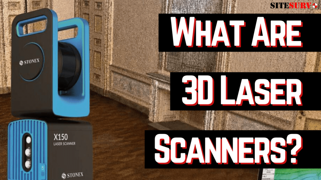
What are 3D Laser Scanners?

When most people think of surveying, instruments such as total stations and GNSS receivers usually pop into mind. However, one of the quickest and most accurate types of instrument that some may not know about are 3D laser scanners. With 3D laser scanners, certain surveying jobs can be finished far quicker and with better efficiency. […]
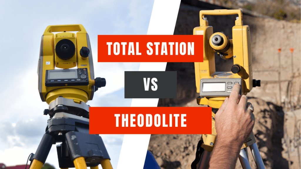
What are the differences between a Theodolite and a Total Station?

Theodolites and total stations are two of the most important and common pieces of equipment that you will see at a survey site. But what are the features that separate these two devices and which is the right choice for the jobs that you do? What do they both do? These instruments are used to […]
