
Best Article About Land Surveying You’ve Ever Read?
Every profession has a few pieces of writing that make people stop and say, “This is why the work matters.”
For land surveyors, that article might not be a modern blog post, a product guide, or a LinkedIn think piece. It might be an old journal article, a forgotten magazine feature, a government report, an obscure PDF from the 1990s, or something tucked away in an archive that reminds you surveying has always been a mix of measurement, grit, history, danger, problem solving, and curiosity.
So here is our pick for one of the best land surveying articles worth reading:
“Surveying the Grand Canyon of the Colorado: An Account of the 1923 Boating Expedition of the United States Geological Survey” by Lewis R. Freeman, originally published in The National Geographic Magazine, Vol. XLV, No. 5, May 1924.
It is old. It is dramatic. It is technical. It is a time capsule from a period when surveying was done with wooden boats, rough water, field notes, heavy instruments, and a level line through one of the most difficult landscapes in North America.
And honestly, that is what makes it so good.
TLDR
If you are looking for one of the coolest old-school surveying reads, start with Lewis R. Freeman’s 1924 National Geographic article, “Surveying the Grand Canyon of the Colorado.” It tells the story of the 1923 U.S. Geological Survey expedition that pushed a survey line through Marble and Grand Canyons by boat. For modern surveyors, it is worth reading because it shows the physical courage, field judgment, note discipline, and mapping purpose behind the profession long before GNSS receivers, robotic total stations, data collectors, and laser scanners changed the workflow.
Read the PDF Below | Visit SiteSurv University | Shop Surveying Equipment
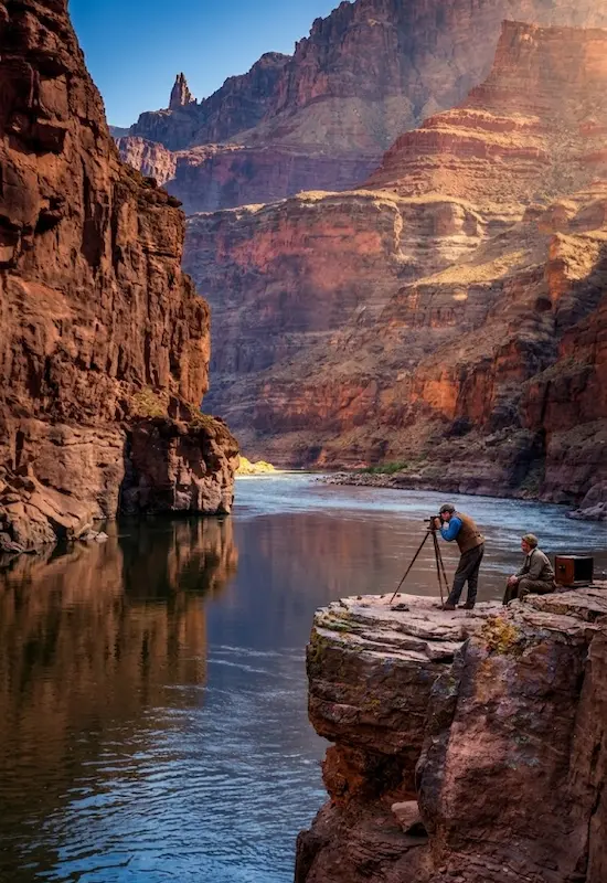
Table of Contents
- Why this question matters to surveyors
- Our pick: Surveying the Grand Canyon of the Colorado
- Full citation for the article
- Why this article is worth reading
- The historical context behind the expedition
- What modern surveyors can learn from it
- Surveying then vs surveying now
- Why surveyors should read old surveying articles
- How to read this article as a modern surveyor
- Read the PDF: Surveying the Grand Canyon of the Colorado
- Copyright and public domain note
- How SiteSurv University fits into this
- Related SiteSurv reading for new surveyors
- Final thoughts
- FAQs
- Sources and citations
Why this question matters to surveyors
“What is the best article about land surveying you’ve ever read?” sounds like a casual question, but it is actually a great one.
Surveying is a profession that is often learned through stories. Crew chiefs tell stories. Old field books tell stories. Boundary cases tell stories. Bad setups, tough jobs, strange monuments, wrong assumptions, and hard-earned lessons all become part of how surveyors teach each other.
Good surveying articles do the same thing. They help newer surveyors understand that this profession is bigger than the equipment in the truck.
Yes, modern surveyors use GNSS receivers, robotic total stations, data collectors, construction lasers, 3D laser scanners, and cloud software. But underneath all of that, surveying is still about evidence, measurement, judgment, documentation, and trust.
That is why older surveying writing is still valuable. It reminds us where the profession came from.
Our pick: Surveying the Grand Canyon of the Colorado
Our pick is “Surveying the Grand Canyon of the Colorado” by Lewis R. Freeman. The article documents the 1923 boating expedition of the United States Geological Survey through the Grand Canyon.
This was not a casual river trip. It was a serious survey expedition through a difficult stretch of the Colorado River. According to the U.S. Geological Survey, the 1923 expedition was organized to make a new map of the Grand Canyon, which at that time was the last stretch of the Colorado River that had not been accurately surveyed.
For anyone in the surveying industry, that alone should make the article interesting.
It is a story about what surveyors have always done: bring order, measurement, and usable information into difficult terrain.
Full citation for the article
Recommended citation:
Freeman, Lewis R. “Surveying the Grand Canyon of the Colorado: An Account of the 1923 Boating Expedition of the United States Geological Survey.” The National Geographic Magazine, Vol. XLV, No. 5, May 1924, pp. 471-548.
You can include that citation directly underneath the PDF on your site so readers know exactly what they are viewing and where it came from.
Why this article is worth reading
This article is worth reading because it captures surveying before the modern convenience layer.
Today, a younger surveyor might learn on a GNSS rover, a robotic total station, a touchscreen data collector, or a laser scanner. Those tools are powerful, and they have made fieldwork faster and safer in many ways.
But in 1923, this expedition required surveyors to work through extreme terrain with the tools, boats, notes, and field judgment available at the time. The result is a story that feels part technical report, part adventure account, and part reminder that surveying has always demanded patience and nerve.
A modern land surveyor can read it and appreciate:
- How difficult field logistics used to be
- How important accurate notes and observations were
- How physically demanding survey work could become
- How mapping projects shaped public understanding of the landscape
- How field crews depended on each other
- How much responsibility surveyors carried before modern technology
It is also just a cool read. Not every surveying article needs to feel like a textbook.
The historical context behind the expedition
The 1923 Grand Canyon expedition matters because it was tied to a larger mapping and scientific effort. USGS describes the expedition as an effort to make a new map of the Grand Canyon, with a survey line through Marble and Grand Canyons and survey work up side canyons.
The expedition launched from Lees Ferry on August 1, 1923, completed the survey at Diamond Creek on October 13, and landed at Needles, California on October 19. USGS identifies Claude H. Birdseye as the expedition leader, Roland W. Burchard as the topographer, Eugene Clyde LaRue as the hydrologist and photographer, and Raymond C. Moore as the geologist.
For a surveyor, the context is important. This was not just exploration for the sake of exploration. It was a survey mission, with mapping, level work, side canyon observations, and possible dam-site investigations.
That is what makes the article useful for the surveying industry today. It connects field measurement to national mapping, water, infrastructure, and public decision-making.
What modern surveyors can learn from it
The tools have changed, but the lessons still feel familiar.
1. Field notes matter
A survey is only as useful as the record behind it. Whether you are writing in a field book, coding points in a data collector, saving photos, or documenting control, the goal is the same: make the work understandable later.
2. The terrain always gets a vote
Surveyors plan the work, but the site often changes the plan. Weather, access, terrain, vegetation, water, traffic, equipment issues, and safety conditions all affect the day.
3. Equipment matters, but judgment matters more
A modern surveyor may have better tools, but better tools do not remove the need for judgment. You still need to understand control, setup, checks, evidence, and the purpose of the survey.
4. Surveying is a team profession
Even one-person crews depend on training, office staff, equipment support, previous records, mentors, and licensed professionals. The Grand Canyon expedition makes that teamwork obvious.
5. The work becomes history
A survey done today may be referenced years from now. That is one reason careful documentation matters. Surveyors are not only measuring the present; they are creating records for the future.
Surveying then vs surveying now
One of the best parts of reading old surveying articles is comparing the fieldwork to what crews do today.
In 1923, the crew had to push a survey through one of the most challenging landscapes in the country. Today, surveyors still deal with difficult terrain, but they also have access to tools that previous generations could not imagine.
| Surveying Topic | 1923 Grand Canyon Era | Modern Surveying |
|---|---|---|
| Positioning | Measured through control, angles, distances, levels, and field observations | GNSS receivers, total stations, robotic instruments, control networks, and digital workflows |
| Field notes | Handwritten notes, sketches, logs, and physical records | Field books, data collectors, photos, codes, cloud sync, and office processing |
| Equipment transport | Wooden boats, physical carrying, difficult access, and rugged field logistics | Survey trucks, UTVs, backpacks, cases, tripods, rover poles, drones, and portable instruments |
| Mapping output | Topographic mapping and expedition records | CAD drawings, GIS data, point clouds, surface models, plats, reports, and digital deliverables |
| Risk | Remote terrain, rapids, limited communication, heavy equipment, and difficult rescue conditions | Traffic, construction sites, heat, weather, terrain, equipment safety, and jobsite hazards |
The technology has changed, but the foundation remains familiar: measure carefully, document clearly, and understand the reason behind the work.
Why surveyors should read old surveying articles
Old surveying articles are not just nostalgia. They can make younger surveyors better at understanding the profession.
| Reason to Read | Why It Helps | Modern Takeaway |
|---|---|---|
| Professional perspective | Shows how surveyors thought about difficult work before modern technology | Do not confuse better tools with better judgment |
| Field discipline | Highlights planning, endurance, observation, and documentation | Good crews still win through preparation and checks |
| History | Connects surveying to public mapping, infrastructure, and exploration | Surveying has always shaped how land is understood and used |
| Training value | Gives new surveyors stories that make technical lessons easier to remember | Use stories to teach the “why,” not just the buttons |
| Industry pride | Reminds surveyors that the profession has a serious legacy | New surveyors are joining a profession with depth |
How to read this article as a modern surveyor
Do not read the article only as an adventure story. Read it like a surveyor.
As you go through the PDF, pay attention to:
- How the expedition handled access and logistics
- How terrain controlled the work
- How field crews balanced risk and progress
- How mapping, water, and infrastructure were tied together
- How much trust depended on careful observation
- How different the tools were, but how familiar the field problems still feel
Younger surveyors should also notice how much work happened before the final map or report. That is still true today. The deliverable may be digital now, but field setup, control, notes, checks, and judgment still matter.
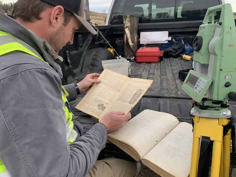
If you are new to surveying, pair this historical read with practical beginner resources like SiteSurv University, our guide on Thinking of Becoming a Surveyor, and our guide on Best Field Books for Land Surveyors.
Read the PDF: Surveying the Grand Canyon of the Colorado
This article was originally published in 1924. According to the U.S. Copyright Office, works published in the United States before January 1, 1931 are currently in the public domain because copyright protection has expired.
That is why this post links to and embeds the PDF for educational and historical reference. To stay conservative, this blog post does not reproduce long passages from the original article. Instead, it provides a citation, historical context, a summary, and a link to the PDF so surveyors can read the original source themselves.
Important: National Geographic is still an active organization and trademark owner. This page should not imply endorsement by National Geographic. Use the article title, author, publication citation, and PDF reference plainly and avoid using National Geographic logos or modern copyrighted branding.
How SiteSurv University fits into this
One reason we like this article is that it fits the mission behind SiteSurv University.
New surveyors need more than product pages. They need context. They need videos, PDF sheets, equipment guides, field explanations, and older surveying stories that show why the profession matters.
SiteSurv University is being built to help new surveyors learn the practical side of the work, including:
- How survey equipment is used in the field
- How total stations and GNSS receivers fit into real workflows
- How to understand field notes and jobsite documentation
- How to choose the right equipment for the task
- How older surveying principles still apply to modern tools
A 1924 Grand Canyon survey article might seem far away from a modern jobsite, but the core lesson is still the same: measurement matters because decisions depend on it.
Related SiteSurv reading for new surveyors
If this article gets you interested in surveying history, fieldwork, and equipment, these SiteSurv guides are good next reads:
- Thinking of Becoming a Surveyor?
- How To Become a Licensed Surveyor in Florida
- Best Surveying Equipment for a One-Person Crew
- Best Field Books for Land Surveyors
- What Are Plumb Bobs?
- Best Tripod for Surveying
- Best Construction Lasers for Land Surveyors
You can also browse practical field gear at SiteSurv USA:
- Surveying Equipment
- Field Books
- Total Stations
- GNSS Receivers
- Tripods
- Plumb Bobs & Accessories
- Marking Products
Final thoughts
The best article about land surveying is not always the newest article.
Sometimes the best one is a piece that reminds surveyors what the profession looked like before the easy buttons. Before cloud sync. Before real-time corrections. Before a robotic total station tracked the prism. Before a GNSS receiver could collect a point in seconds.
“Surveying the Grand Canyon of the Colorado” is worth reading because it shows surveying as both technical work and field adventure. It reminds new surveyors that the profession has always required accuracy, endurance, judgment, and documentation.
If you are a surveyor, crew chief, student, or someone just getting into the industry, this is the kind of old article worth saving, sharing, and sending to the next person who asks why surveying matters.
Read the PDF Above | Learn at SiteSurv University | Shop Surveying Equipment
FAQs
What is one of the best articles about land surveying?
One great historical article is “Surveying the Grand Canyon of the Colorado” by Lewis R. Freeman, published in The National Geographic Magazine in May 1924. It documents the 1923 U.S. Geological Survey boating expedition through the Grand Canyon.
Why should modern surveyors read old surveying articles?
Old surveying articles help modern surveyors understand the history, difficulty, and professional purpose behind the work. They show how much the tools have changed while the need for careful measurement, judgment, and documentation remains the same.
Is the 1924 National Geographic Grand Canyon surveying article public domain?
In the United States, works published before January 1, 1931 are currently in the public domain because copyright protection has expired. Since this article was published in 1924, it should be in the U.S. public domain. Still, this page provides citation and avoids using National Geographic branding in a way that suggests endorsement.
What was the 1923 Grand Canyon surveying expedition?
It was a U.S. Geological Survey expedition organized to survey and map a difficult stretch of the Colorado River through Marble and Grand Canyons. The crew used boats, field measurements, level work, and mapping methods to document terrain that had not yet been accurately surveyed.
What can young surveyors learn from the Grand Canyon surveying article?
Young surveyors can learn that good surveying is about more than equipment. The article shows the importance of field notes, preparation, teamwork, endurance, control, accuracy, and understanding the purpose behind the survey.
Can I download the PDF from this page?
Yes. We included the PDF on this page so surveyors, students, and field crews can more easily find and read the original 1924 article.
Where can new surveyors learn more?
New surveyors can visit SiteSurv University for beginner-friendly resources, videos, PDF sheets, and practical equipment help.
Sources and citations
- Freeman, Lewis R. “Surveying the Grand Canyon of the Colorado: An Account of the 1923 Boating Expedition of the United States Geological Survey.” The National Geographic Magazine, Vol. XLV, No. 5, May 1924, pp. 471-548.
- U.S. Geological Survey. “Mapping the Grand Canyon in 1923: The Birdseye Expedition.” USGS National Geospatial Program History page. The USGS page cites Freeman’s article as: National Geographic Magazine, Vol. XLV, No. 5, May 1924, pp. 471-548. View source.
- U.S. Copyright Office. “What is Copyright?” The Copyright Office states that works published in the United States before January 1, 1931 are currently in the public domain because copyright protection has expired. View source.
- Google Play Books listing. Surveying the Grand Canyon of the Colorado: An Account of the 1923 Boating Expedition of the United States Geological Survey, Lewis Ransome Freeman, National Geographic Society, 1924. View source.
Looking for more surveying resources? Visit SiteSurv University or browse SiteSurv USA’s surveying equipment, field books, GNSS receivers, total stations, tripods, and survey accessories.
To make this easier for surveyors, students, and field crews to find, we downloaded and hosted a PDF copy of the article below.
PDF title: Surveying the Grand Canyon of the Colorado: An Account of the 1923 Boating Expedition of the United States Geological Survey
Author: Lewis R. Freeman
Original publication: The National Geographic Magazine, Vol. XLV, No. 5, May 1924, pp. 471-548